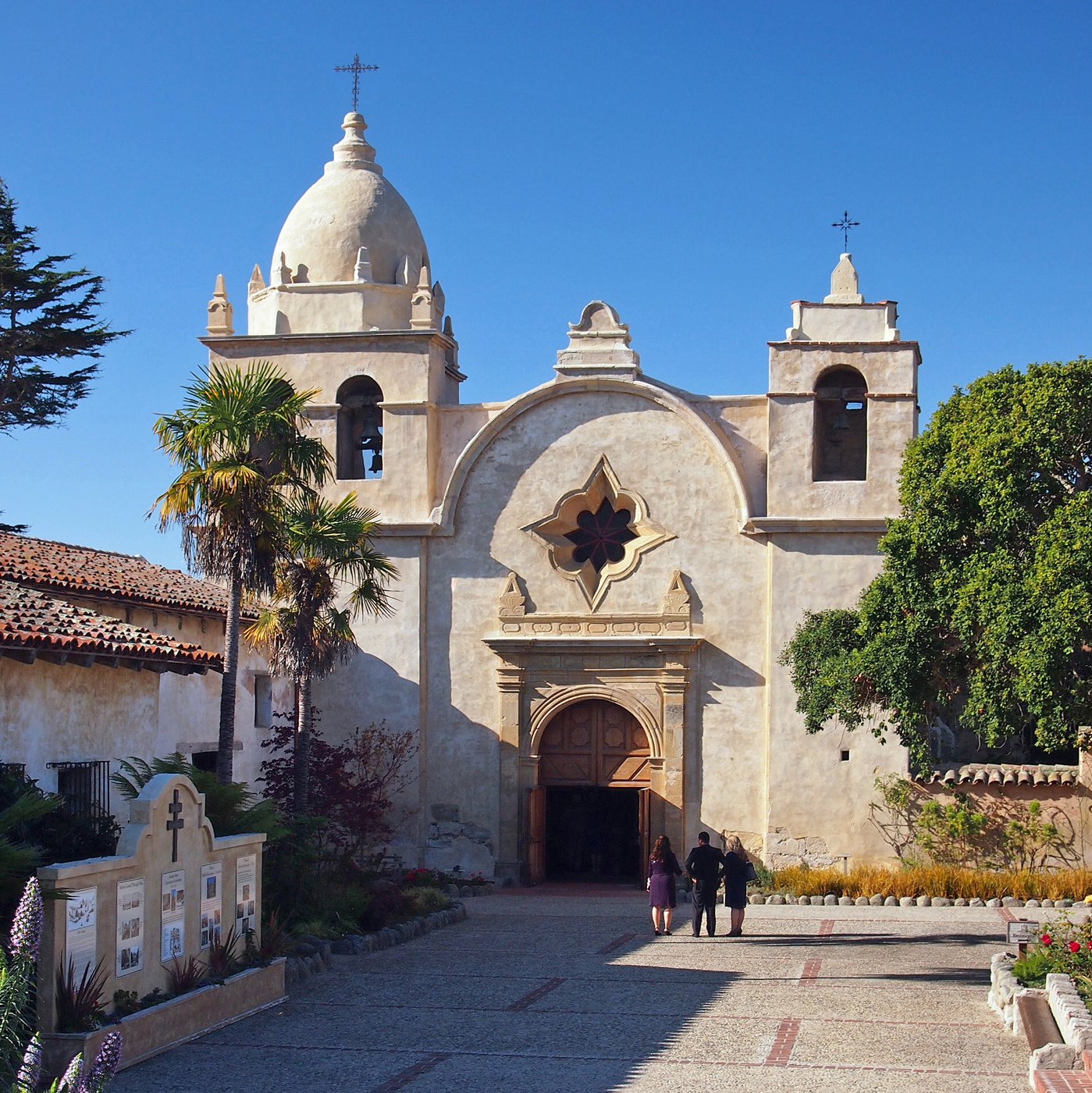
Carmel Mission

Outdoors

Picnic spots near Carmel-by-the-Sea

Day-use and picnic areas near Carmel-by-the-Sea on public land, from quick drives to full-day outings.

11picnic areas
4 mito the closest
1within 30 miles
Year-roundbest months

Good to know: Group picnic sites can often be reserved; fire rules change with the season, so check before bringing a grill.

Closest picks

1

Monterey Bay National Marine Sanctuary

4 mi northeast · National Oceanic and Atmospheric Administration

Monterey Bay National Marine Sanctuary is one of the most spectacular marine protected areas. This sanctuary also has one of the largest underwater canyons and closest-to-shore deep ocean environments.
2

San Justo Reservoir

33 mi northeast · Bureau of Reclamation

San Justo Dam and Reservoir are features of the San Felipe Project. The reservoir is approximately 3 miles southwest of Hollister, California . Facilities open for use Wednesday through Sunday. Operation hours: sunrise to sunset.

3

Pinnacles National Park

41 mi east · National Park Service

Around 23 million years ago, a series of volcanic eruptions shaped the landscape that is now Pinnacles National Park. The remnants of these ancient eruptions have formed a striking terrain of rocky spires and deep canyons.

Map of all 11 places

Map of 11 places loads as you scroll.

Within 30 miles (1)

4 mi northeast · National Oceanic and Atmospheric Administration

Monterey Bay National Marine Sanctuary

Monterey Bay National Marine Sanctuary is one of the most spectacular marine protected areas. This sanctuary also has one of the largest underwater canyons and closest-to-shore deep ocean environments.

  • Biking
  • Boating
  • Camping
  • Diving
  • Fishing
  • Hiking
  • Horseback riding
  • Paddling

30 to 75 miles (7)

33 mi northeast · Bureau of Reclamation

San Justo Reservoir

San Justo Dam and Reservoir are features of the San Felipe Project. The reservoir is approximately 3 miles southwest of Hollister, California . Facilities open for use Wednesday through Sunday. Operation hours: sunrise to sunset.

  • Boating
  • Fishing
  • Picnicking
  • Recreational Vehicles

41 mi east · National Park Service

Pinnacles National Park

Around 23 million years ago, a series of volcanic eruptions shaped the landscape that is now Pinnacles National Park. The remnants of these ancient eruptions have formed a striking terrain of rocky spires and deep canyons.

  • Camping
  • Climbing
  • Hiking
  • Picnicking
  • Wildlife viewing

53 mi northeast · Bureau of Reclamation

San Luis Lake and State Wildlife Area

Recreation facilities at San Luis Lake were constructed under a cost-share agreement between the Bureau of Reclamation and the State of Colorado during the late 1980s and early 1990s.

  • Biking
  • Boating
  • Camping
  • Fishing
  • Hiking
  • Hunting
  • Picnicking
  • Water sports

59 mi northeast · Bureau of Reclamation

O'Neill Forebay

O'Neill Dam and Forebay are joint Federal-State facilities located on San Luis Creek 2.5 miles downstream from San Luis Dam. O'Neill Forebay Dam is a feature of the Central Valley Project - San Joaquin Division - San Luis Unit .

  • Biking
  • Boating
  • Camping
  • Fishing
  • Hiking
  • Hunting
  • Picnicking
  • Recreational Vehicles

62 mi northeast · Bureau of Reclamation

Los Banos Reservoir

The Los Banos Dam and Reservoir are on Los Banos Creek above the San Luis Canal, near Los Banos, California. The dam and reservoir are features on the Central Valley Project - San Luis Unit .

  • Boating
  • Camping
  • Fishing
  • Hiking
  • History
  • Horseback riding
  • Hunting
  • Picnicking

64 mi east · Bureau of Reclamation

Little Panoche Dam

Little Panoche Dam is a feature of the Central Valley Project - San Luis Unit . The area is open 24 hours a day, 7 days a week. Access by foot only. Parking lot provided. Nearest main highway, I-5.

  • Fishing
  • Hunting
  • Picnicking
  • Wildlife viewing

75 mi northeast · Fish and Wildlife Service

San Luis National Wildlife Refuge

The San Luis National Wildlife Refuge encompasses over 26,800 acres of wetlands, riparian woodlands, native grasslands, and vernal pools. A thriving population of endemic tule elk is showcased on one of three auto tour routes.

  • Birding
  • Fishing
  • Hiking
  • Hunting
  • Photography
  • Picnicking
  • Wildlife viewing

75 miles and farther (3)

82 mi northeast · Fish and Wildlife Service

San Joaquin River National Wildlife Refuge

The San Joaquin River National Wildlife Refuge located in Stanislaus County encompasses more than 7,300 acres of riparian woodlands, wetlands, and grasslands that host a diversity of wildlife native to California’s Great Central Valley.

  • Birding
  • Hiking
  • Photography
  • Picnicking
  • Wildlife viewing

84 mi northeast · Fish and Wildlife Service

Merced National Wildlife Refuge

The Merced National Wildlife Refuge encompasses 10,258 acres of wetlands, native grasslands, vernal pools, and riparian woodlands.

  • Birding
  • Hiking
  • Hunting
  • Nature education
  • Photography
  • Picnicking
  • Wildlife viewing

94 mi north · National Park Service · Campground

Kirby Cove Campground

Kirby Cove is located just north of the Golden Gate Bridge at historic Battery Kirby. Visitors are awarded breathtaking views of San Francisco, its famous Golden Gate Bridge, and the rugged Pacific Coast of northern California.

  • Birding
  • Camping
  • Fishing
  • Hiking
  • History
  • Mountain Biking
  • Picnicking
  • Water Access

Distances are straight-line miles from downtown Carmel-by-the-Sea. Listings come from Recreation.gov’s federal recreation database; check each official page for hours, fees, fire restrictions and closures before you go.

Get outside around Carmel-by-the-Sea

Top things to do in Carmel-by-the-Sea. ✨ video thumbnail

THINGS TO DO · YOUTUBE SHORT

Top things to do in Carmel-by-the-Sea. ✨

A local activity Short shared by Visit Carmel.

Watch on YouTube ↗

Around Carmel-by-the-Sea

Carmel-by-the-Sea photograph by David Balmer
Carmel-by-the-Sea 1David Balmer · CC BY 3.0
Boatworks, Carmel-by-the-Sea, California
Carmel-by-the-Sea-Ocean-Ave-Shopping-2-CorrectedFred Hsu , Alvis at English Wikipedia · CC BY-SA 3.0
Carmel Fire Station, Carmel-by-the-Sea
Carmel Fire Station, Carmel-by-the-SeaGregory Ford Henderson · CC BY-SA 4.0

More outdoors near Carmel-by-the-Sea

Questions

Where is the closest place for picnic spots near Carmel-by-the-Sea?

Monterey Bay National Marine Sanctuary (National Oceanic and Atmospheric Administration), about 4 miles northeast of Carmel-by-the-Sea as the crow flies. Next are San Justo Reservoir (33 mi) and Pinnacles National Park (41 mi).

When is the best time for picnic spots near Carmel-by-the-Sea?

Based on Carmel-by-the-Sea’s average highs, all year. Conditions at higher elevations can be much cooler.

Who manages these places?

Federal agencies including Bureau of Reclamation, Fish and Wildlife Service, National Park Service. Each listing links to its official page for hours, fees, closures and current conditions.

Carmel-by-the-Sea AI

Your Carmel-by-the-Sea local guide
Hey there!

I'm Carmel-by-the-Sea AI. Ask about neighborhood food, independent shops, local history or planning a visit.

AI recommendations may be inaccurate. Verify hours and prices. Questions are processed by Cloudflare. Privacy